Trail Running calendar near Pistyll 2026-2027
We have found 161 Trailruns within 80 miles of Pistyll. See below where and when you can find the races.

We have found 161 Trailruns within 80 miles of Pistyll. See below where and when you can find the races.

Solo mountain running across three relay legs in County Wicklow, covering 49.0 km and 2,170 m ascent. The unmarked route forbids GPS and requires Level C mandatory kit with checkpoints and cutoffs in place.
Trail runs at Delamere Forest on 27 September 2026 offer a two-lap half marathon and a one-lap 10K over technical wooded trails, with chip timing, aid stations, canicross options, and eco-minded event measures.
A fell race near Criggion covering 11.5 km with 790 m of ascent on a partially marked course that requires navigational skills. Entry is £8 and teams may enter free of charge.
A community focused 5 mile mixed terrain race in Rimrose Valley Country Park, Waterloo, Liverpool, with a scenic traffic free course through woodland and canal paths and a themed medal for finishers.
A guided trail run of about 10 km around Llangollen visiting Castell Dinas Bran and the Abbey and returning via the canal. The group keeps a steady pace with regular regrouping stops; members may enter for free while standard entry is £19.5..
Women only night trail in County Wicklow on 2 October 2026. The fully marked 7.00 km route follows the Sugarloaf Way, requires a head torch and trail runners, and entry fees will be donated to Bray Women's Refuge.
Test your navigation skills in County Wicklow at the second race of the annual Nav Challenge league. Navigate an unmarked course through the Irish mountains using traditional methods without GPS assistance.
An uphill only 10 km from Ruthin to the Jubilee Tower on Moel Famau, featuring mixed terrain and a summit finish above 550 m; transport back to town can be purchased on site.
A 32 mile trail through the Cambrian Mountains from Camp Plas near Dolanog, capped at 100 runners and fully marked with checkpoints and a 14 hour cut off. The weekend includes on-site camping, catering, live music and lakeside activities.
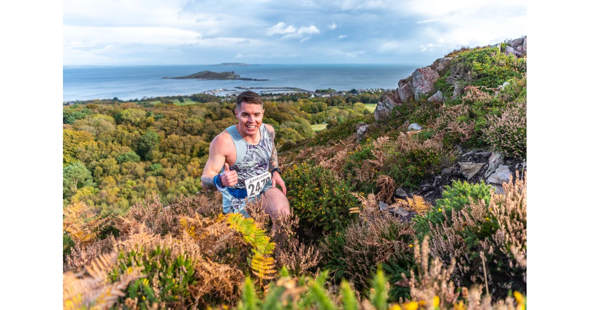
A coastal trail run of 10 km around Howth in Dublin offering mixed terrain and coastal scenery. The event has an age limit of 16 and an entry fee of €42 plus fees; a bundle with the Wicklow 10 km is available.
Nav Challenge 3 is the fourth race of the Navigational Challenge league in County Wicklow on 11 October 2026. The route is unmarked, GPS is not allowed, and participants must carry mandatory Level B kit.
An untimed 5k and 10k adventure run at Lyons Lane Motocross LTD in Shrewsbury on October 17, 2026. The course uses a MotoX track and includes brook crossings, hill climbs, a mud crawl and a water slide finish.
Cadair X is a 13.1 mile mountain half marathon with 1165 m of ascent that climbs to the 893 m summit of Cadair Idris. The marked route crosses woodland, glacial lakes and technical summit terrain and a GPX file is available.