Nav Challenge 2- Shay Elliott
Always double-check with the organizer's website! This page may contain affiliate links.
About the race
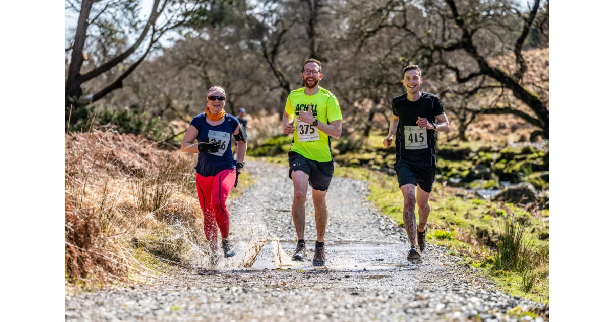
Nav Challenge 2 is the second race in an annual navigational challenge league held in County Wicklow. The event is an unmarked course on open mountain, forest and trail terrain with significant ascent. Distances offered:
- 20.00 km long course
- 8.00 km short course
The long course includes open mountain sections and route choice; the short course can be navigated on fireroads, forest and mountain trails with a small section of open mountain. Total climb for the long course is 850 m. Route marking is not provided and paper map plus physical compass navigation only is required for route finding. GPS devices are not permitted for navigation but may be used if a competitor becomes lost; such use should be declared.
Mandatory kit is Level C Advanced and must be carried: waterproof jacket with hood and taped seams, hat or buff, gloves, whistle, charged mobile with emergency number, foil blanket or bivvy, waterproof full leg cover, means to carry at least 500 mL water, emergency food, map of route area, and compass. Organisers will confirm the exact kit to carry at registration and may carry out random checks; missing required items may lead to denied entry or disqualification.
The event is not open to juniors due to the unmarked open mountain nature. The Start and Finish are at the Cloon Woods entrance. A master map with controls will be released eight minutes after the race start. Prizegiving takes place at the Start/Finish. Entries close Thursday 1st October 2026 and an entry fee applies. Visit the organization's website for the most recent information.
Events nearby