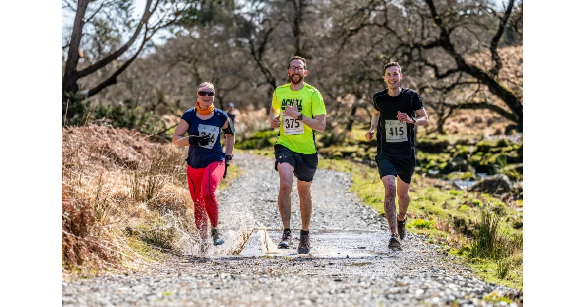
Glendalough Night Challenge
Always double-check with the organizer's website! This page may contain affiliate links.
Glendalough Night Challenge
The Glendalough Night Challenge is a night mountain running event in County Wicklow on Friday 23rd October 2026 at Glendalough Upper Lake carpark. The event offers two new routes on mixed terrain with open exposed mountain sections near Derrybawn Ridge and some technical sections. Routes are fully marked and GPS use is allowed.
Distances:
- 8.5 km long course with about 450 m of climb, for entrants aged 18 or older
- 4.2 km short course with about 320 m of climb, for entrants aged 14 or older
The long course is intended for runners experienced in mountain or night running; the short course is suitable for those new to night running or preferring a shorter distance. Weather is described as unpredictable; entrants are advised to slow down if new to running at night in the hills and to wear grippy running shoes.
Mandatory Level B standard kit must be carried and includes a waterproof jacket, hat or buff, gloves, whistle, charged mobile phone with emergency number stored, and a foil blanket or bivvy bag. Organisers will confirm the final kit to be carried on the day. A suitable torch for running at night, preferably a head torch, plus a backup torch or spare battery is recommended.
Entry fees are €7 for seniors and €5 for over 65s and under 18s. There is a parking fee at the upper lake carpark. Visit the organization's website for the most recent information.
Events nearby